The river's headwaters
The source of the Anoia River is located at several points in the area of the Segarra plateau. Different branches come together to form the main river just before reaching Jorba.
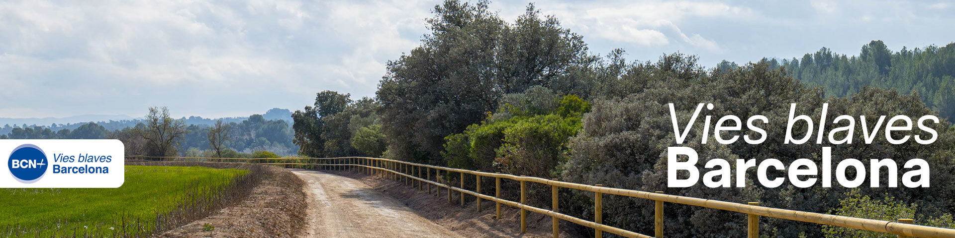
In the headwater area, the river flows enclosed between small cliffs with a scarce flow. Along its course, streams and torrents contribute water, gradually increasing the flow and giving the river greater substance.
Here, the landscape is a mosaic of riverside vegetation, pine forests, and cultivated fields, in a space that combines nature and agricultural activity. Along the way, we see scattered farmhouses and mills that follow the riverbanks, surrounded by vast fields that shift in color with the seasons: from the brown of the winter soil to the bright yellow of early rapeseed, and the golden hue of summer cereals.
Rapeseed is a highly melliferous plant of the turnip and cabbage family, cultivated for its seeds. From them, oil is obtained that is used mainly for producing biodiesel, as well as a protein-rich by-product for livestock feed.
Look closely at:
On the cliffs, undulations can be observed in the layers of sedimentary rocks such as marls, sandstones, and gypsum. These layers have gradually deformed under compressive forces without fracturing, forming folds. The lower layer, composed mainly of whitish gypsum, enhances the plastic behavior of the rock ensemble. These materials date back to the Late Eocene, around 35 million years ago.
These walls provide shelter and nesting sites for wildlife, including birds of prey, bats, and various insects.
Elder is a woody, deciduous shrub that grows abundantly along the riverbanks. In spring, it blooms with large inflorescences of fragrant white flowers that turn into fleshy black-violet fruits by late summer, highly valued for making jams.